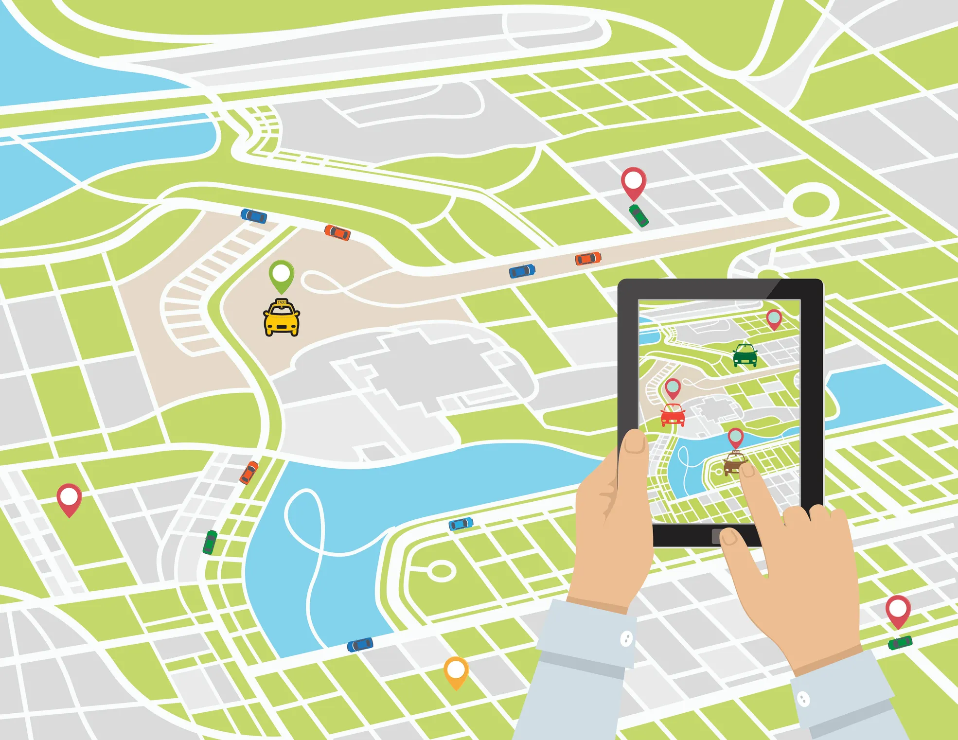
In today’s data-driven world, the ability to visualize and analyze location-based information has become increasingly crucial for businesses, researchers, and individuals alike. Geocoding, the process of converting addresses, coordinates, or place names into geographic coordinates, is the key to unlocking the power of location data. Fortunately, there are several free geocoding services and APIs available that can help you get started with mapping your data without breaking the bank.
Maptive: The All-in-One Geocoding Solution
Maptive is a comprehensive mapping software that offers seamless geocoding functionality, making it easy to plot a wide range of location data on an interactive map. With Maptive, you can quickly and accurately geocode addresses, zip codes, postal codes, cities, counties, and states, all within seconds. Simply create a Maptive account, upload your spreadsheet dataset, and let the platform handle the rest. The intuitive interface allows you to visualize your data points, and you can even click on individual markers to reveal the corresponding latitude and longitude coordinates.
Advantages of Maptive’s Geocoding Capabilities
- Rapid Geocoding: Maptive’s powerful algorithms can process large datasets and transform your location-based information into visual representations in a matter of seconds.
- Versatile Data Inputs: The platform supports a wide range of data formats, including addresses, zip codes, postal codes, cities, counties, and states, making it a versatile choice for users with diverse location data.
- Seamless Integration: Maptive seamlessly integrates your geocoded data into its interactive mapping features, enabling you to create customized visualizations, analyze trends, and uncover insights.
- User-Friendly Interface: The Maptive platform is designed with the user in mind, offering an intuitive and straightforward experience for both novice and experienced users.
QGIS: A Free and Open-Source Geocoding Solution
For those seeking a more lightweight, free, and open-source geocoding option, QGIS is a viable choice. This powerful geographic information system (GIS) software offers two plugins specifically designed for geocoding: the GeoCodex Plugin (for geocoding one address at a time) and the MMQGIS Plugin (for geocoding multiple addresses simultaneously).
Exploring QGIS Geocoding Plugins
- GeoCodex Plugin: This plugin allows users to geocode a single address or location by entering the relevant information and clicking a button to display the corresponding coordinates on a map.
- MMQGIS Plugin: The MMQGIS plugin is particularly useful for users who need to geocode multiple addresses at once. Simply input your address data, and the plugin will plot all the locations on a map for you.
While QGIS may not offer the same level of advanced features and functionality as some of the other options on this list, it is an effective and accessible solution for those looking to quickly geocode a few addresses or small datasets.
Google Maps: A Familiar and Versatile Geocoding Tool
If you’re already familiar with Google Maps, you’ll be pleased to know that this popular platform can also serve as a free geocoding tool. Google Maps allows you to easily plot virtually any type of location, from addresses and zip codes to points of interest and geographic coordinates.
Geocoding with Google Maps
To geocode a single location using Google Maps, simply enter the address, place name, or coordinates into the search bar, and the platform will instantly display the corresponding marker on the map. You can then right-click on the marker to reveal the exact latitude and longitude coordinates.
However, it’s important to note that the free version of Google Maps only allows you to geocode one location at a time. If you need to batch-geocode multiple addresses, you’ll need to sign up for the paid Google Maps Platform service.
PositionStack: A Powerful Geocoding API
PositionStack is a free geocoding API that boasts an impressive database of over 2 billion addresses from around the world. This means that you’re highly likely to be able to plot any location using this service, thanks to its comprehensive coverage.
Leveraging PositionStack’s Geocoding Capabilities
The PositionStack API allows you to send up to 10,000 geocoding requests per day for free, which can be a significant advantage for users with larger datasets or more complex location-based needs. Additionally, the API offers real-time geocoding and frequent data updates, ensuring that your location information stays current.
One potential drawback of PositionStack is that, as an API, it may be less accessible to users who are not web developers or programmers. However, if you have the technical expertise to integrate the API into your own applications or workflows, PositionStack can be a powerful and cost-effective geocoding solution.
Mapquest Developer: A Comprehensive Geocoding Platform
Mapquest Developer, a subsidiary of the well-known Mapquest mapping service, offers a comprehensive geocoding platform called MapquestGo. This platform provides users with 15,000 initial free transactions, making it an attractive option for those looking to explore geocoding capabilities without incurring significant costs.
Exploring MapquestGo’s Geocoding Features
MapquestGo’s geocoding functionality allows you to convert addresses, coordinates, and place names into geographic data that can be easily visualized on a map. The platform’s user-friendly interface and robust API make it accessible to both technical and non-technical users.
One of the key advantages of using MapquestGo is its seamless integration with other Mapquest Developer tools, such as routing and directions, allowing you to streamline your location-based workflows and analyses.
Comparing the Best Free Geocoding Services
When it comes to choosing the best free geocoding service, there are several factors to consider, such as data coverage, batch processing capabilities, ease of use, and integration with other tools. Here’s a quick comparison of the options discussed in this article:
| Service | Data Coverage | Batch Processing | Ease of Use | Integration Capabilities |
|---|---|---|---|---|
| Maptive | Comprehensive | Yes | High | Seamless integration with Maptive’s mapping features |
| QGIS | Varies based on data sources | Yes (MMQGIS plugin) | Moderate | Limited to QGIS ecosystem |
| Google Maps | Comprehensive | No (free version) | High | Limited to Google Maps platform |
| PositionStack | Comprehensive (over 2 billion addresses) | Yes | Moderate (requires API integration) | Flexible integration options for developers |
| Mapquest Developer (MapquestGo) | Comprehensive | Yes | High | Seamless integration with other Mapquest Developer tools |
Choosing the Right Geocoding Tool for Your Needs
When selecting the best free geocoding service for your needs, consider the following factors:
- Data Volume: If you need to geocode large datasets, look for services that offer batch processing capabilities, such as Maptive, QGIS, PositionStack, and Mapquest Developer.
- Ease of Use: For users who prefer a more intuitive and user-friendly experience, Maptive, Google Maps, and Mapquest Developer may be the better options.
- Integration Requirements: If you need to integrate geocoding capabilities into your own applications or workflows, PositionStack and Mapquest Developer, with their API-driven approaches, may be more suitable.
- Budget and Scalability: While all the services mentioned in this article offer free tiers, some, like PositionStack and Mapquest Developer, provide paid plans for users with more extensive needs.
Ultimately, the best free geocoding service for you will depend on your specific requirements, data characteristics, and technical expertise. By evaluating the strengths and limitations of each option, you can make an informed decision that aligns with your goals and budget.
Conclusion
In today’s data-driven landscape, the ability to visualize and analyze location-based information has become increasingly crucial. Fortunately, there are several free geocoding services and APIs available that can help you unlock the power of your location data without breaking the bank.
From the comprehensive and user-friendly Maptive to the open-source QGIS, the familiar Google Maps, the powerful PositionStack API, and the Mapquest Developer’s MapquestGo platform, this article has explored the best free geocoding tools on the market. By understanding the unique features and capabilities of each service, you can make an informed decision that aligns with your specific needs and budget.
Regardless of your geocoding requirements, the options discussed in this article provide a solid foundation for you to start visualizing and analyzing your location data in meaningful and impactful ways.


