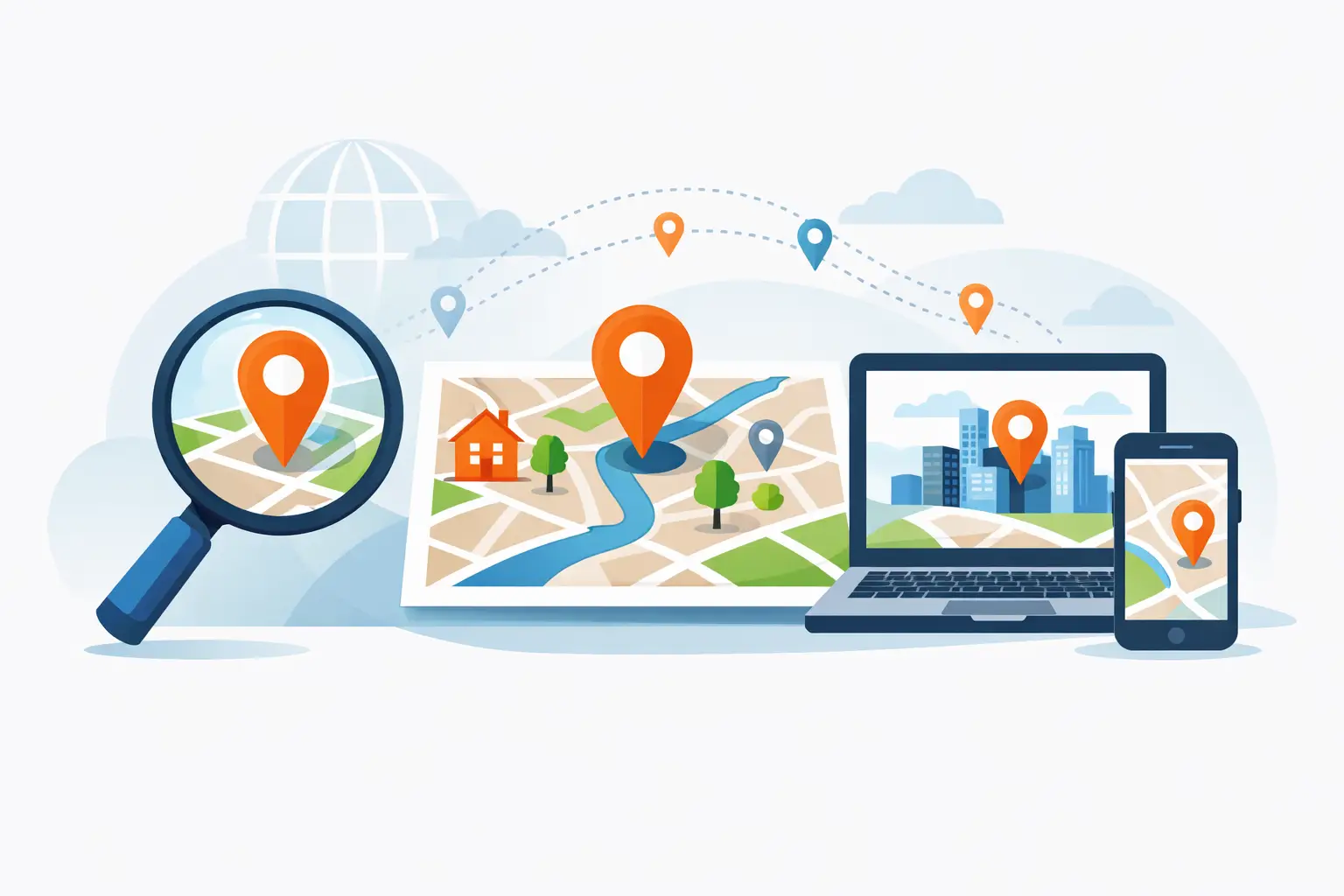

A bad geocode usually shows up too late. The address looked valid, the request returned coordinates, and the app moved on. Then delivery ETAs slip, drivers miss stops, store locators pin the wrong block, and support teams start hearing about it. That is why choosing a geocoding API for developers is less about converting text into latitude and longitude and more about reducing operational errors in products that depend on location.
For development teams, geocoding sits at the front of a much larger chain. It affects routing quality, search relevance, map display, territory analysis, and customer trust. If the first location match is off, every downstream workflow inherits that mistake. The right API does more than return a coordinate pair. It helps teams normalize messy input, interpret confidence, and handle real-world address variation at scale.
What developers need from a geocoding API
At a basic level, geocoding turns a street address, ZIP code, city, or place description into coordinates. Reverse geocoding does the opposite by converting coordinates into a readable address. Most teams need both, even if they start with only one use case.
What matters in production is not the existence of these endpoints. It is how they behave under typical and edge-case conditions. User-entered addresses are incomplete, misspelled, or formatted inconsistently. Commercial and residential addresses follow different patterns. Rural coverage can behave differently from dense urban areas. International formatting introduces another layer of complexity, even for US-based companies with occasional global traffic.
A reliable geocoding API for developers should help resolve ambiguity instead of hiding it. That includes returning structured components, match quality indicators, and enough detail to decide whether an address is good enough for the next step. For example, rooftop-level precision may be necessary for field service dispatch, while a ZIP centroid may be acceptable for market analysis. The right answer depends on the use case, not on a generic definition of accuracy.
How to evaluate geocoding quality in the real world
Accuracy is the first concern, but it should be defined carefully. Teams often ask, "How accurate is the geocoder?" The better question is, "How accurate is it for our address mix, volume, and geography?"
If your product supports ecommerce delivery, you care about address interpolation, apartment handling, and whether the API can distinguish between similar street names in nearby municipalities. If you run a store locator, you care about clean forward geocoding for known addresses and reliable reverse geocoding for mobile users sharing their current location. If you are building internal fleet workflows, consistency may matter even more than perfect rooftop precision because downstream routing and analytics depend on stable results.
This is where test design matters. Use a representative sample of real addresses, including the messy ones. Compare match rates, coordinate placement, and the shape of the returned metadata. Look at how the API handles partial inputs, directional prefixes, unit numbers, and old address formats. An API that performs well on neat sample data may still create support issues once customers start typing freely.
Confidence signals also deserve attention. A geocoder that returns a result without showing match quality can force developers to guess. Better APIs expose enough information to support business rules, such as prompting a user to confirm an address, downgrading a route estimate, or flagging records for cleanup before batch processing.
Scale, latency, and rate limits are product decisions
Geocoding often starts as a simple feature and quickly becomes infrastructure. A few hundred requests during prototyping can turn into millions of transactions once a search flow, logistics platform, or customer-facing map moves into production.
That shift changes the evaluation criteria. Response time matters because geocoding often sits inside interactive experiences. If a search box, checkout form, or driver app waits too long on address resolution, users notice. Batch throughput matters too. Back-office teams may need to clean historical records overnight or enrich incoming datasets continuously.
Rate limits are not just technical fine print. They shape product design. Strict limits can force queueing logic, delayed processing, or a degraded customer experience during peak demand. Flexible plans and enterprise-ready capacity matter for teams that expect growth, seasonal spikes, or high-volume operational workflows.
This is one reason mature providers stand out. Battle-tested geospatial infrastructure is not only about having a broad API catalog. It is about dependable performance under sustained load, predictable service behavior, and the ability to support both self-serve experimentation and production-scale deployment.
Data coverage and address intelligence matter more than feature checklists
Many geocoding APIs appear similar on paper. They all convert addresses to coordinates. The difference is usually in the quality and depth of the underlying location data, along with how the service interprets imperfect input.
Coverage should be evaluated in the places where your business operates now and where it may expand next. A US-focused product may still need dependable handling for Canada, cross-border logistics, or occasional international user input. More importantly, teams should look beyond country-level coverage claims and test at the regional level. Suburban growth areas, new developments, and rural routes can expose differences between providers.
Address intelligence also includes normalization. Standardized output helps teams store clean records, deduplicate locations, and build consistent downstream reporting. If your application needs to compare customer-entered addresses against operational systems, structured address components are often as important as the coordinates themselves.
Integration should be fast, but not shallow
Developers usually want to get a first response from an API quickly. That is reasonable. A geocoding service should be easy to test, well documented, and straightforward to call from common stacks. But fast integration is only half the story.
The more important question is whether the API supports the decisions that happen after the first request. Can you batch process records efficiently? Can you tune request parameters for different contexts? Does the response model make it easy to distinguish between exact and approximate matches? Can the same platform support routing, search, traffic, and map rendering once your location features expand?
That broader platform view can save time later. Teams often begin with geocoding and then realize they also need reverse geocoding for mobile workflows, directions for delivery estimates, or place search for discovery experiences. A unified geospatial stack reduces integration overhead and can simplify procurement, support, and governance.
For many organizations, that is where an established platform like MapQuest Developer fits well. It gives teams access to enterprise-grade and battle tested APIs and SDKs that support both early experimentation and real production demands, without forcing them to stitch together multiple vendors for adjacent location services.
Cost is not just about price per request
Pricing matters, but teams should avoid evaluating geocoding as a commodity line item. The cheapest request is not always the lowest-cost option if poor results increase failed deliveries, manual corrections, or user drop-off.
A better pricing review includes a few practical questions. What volume is included at entry level? What happens when usage spikes? Are there clear upgrade paths for larger workloads? Can product and engineering teams estimate costs without guessing how the billing model handles batch jobs, retries, or mixed geospatial usage?
Transparent pricing is especially valuable for startups and mid-market teams. It supports planning and lets developers move quickly without creating procurement friction. For larger organizations, flexible commercial options matter because geocoding often becomes one part of a broader mapping and operations investment.
The best choice depends on the job
There is no single best geocoding API for developers in every situation. A consumer search app, a field service platform, a fleet operation, and a retail analytics tool all stress the service differently. Some need very fast interactive responses. Others need consistent batch quality. Some care most about US address accuracy. Others need broad coverage across multiple countries and related APIs on the same platform.
The smart approach is to map requirements to business impact. Start with the addresses you actually process, the workflows affected by geocoding quality, and the scale you expect within the next year. Test for edge cases, not just happy paths. Review documentation as seriously as response samples. And choose a provider that can support the next location feature you are likely to build, not only the one on today’s roadmap.
Geocoding is easy to underestimate because the request looks simple. In practice, it is one of the small infrastructure decisions that can quietly improve customer experience, reduce operational friction, and make every location-based feature work a little better.