
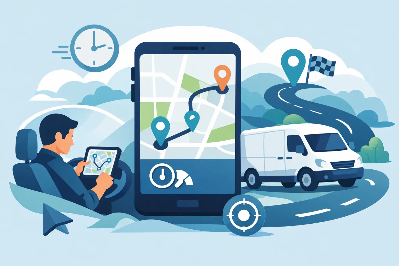
A dispatcher watches a driver lose 20 minutes to a bridge closure, while the customer-facing app still shows an arrival time that is no longer realistic. That gap is where a delivery route planning API earns its place. It gives delivery products and operational systems the routing intelligence needed to turn stops, vehicles, road conditions, and customer expectations into practical routes and dependable ETAs.
For teams building last-mile delivery, field service, retail fulfillment, or fleet workflows, route planning is not a map on a screen. It is an operational decision that affects labor cost, fuel use, delivery capacity, and customer trust. The right API helps engineering teams build those decisions into the software people use every day.
What a Delivery Route Planning API Does
At its foundation, a routing API calculates a path between an origin and a destination using a road network. For delivery operations, that is only the starting point. Applications often need directions for multiple stops, travel time and distance estimates, route geometry for map display, and traffic-aware updates that improve ETA accuracy.
A delivery route planning API exposes those capabilities through endpoints that an application can call as dispatch conditions change. A driver may receive a new pickup. A customer may update an address. Traffic may turn a formerly efficient route into a poor choice. Instead of maintaining road data, routing algorithms, and map infrastructure internally, a development team can request current route results and incorporate them into its workflow.
The practical output is more than a line between two points. It can include turn-by-turn maneuvers for driver navigation, distance for cost calculations, estimated travel time for delivery windows, and route shape data for displaying the trip on a web or mobile map.
Route Planning and Route Optimization Are Different Jobs
The terms are frequently used together, but they solve different problems. Route planning determines how to travel from one known location to another. Route optimization determines the best order for a set of stops under defined constraints.
A local florist with a driver making three deliveries may be able to assign stop order in its own business logic, then use routing to create accurate directions and ETAs. A larger dispatch platform handling hundreds of stops, vehicle capacities, service windows, driver shifts, and pickup-before-delivery rules needs a more specialized optimization layer.
That distinction matters during architecture planning. A routing service is highly effective for point-to-point trips, scheduled route legs, ETA calculations, driver directions, and map rendering. It does not automatically solve every vehicle routing problem. Teams should define whether they need route calculation, stop sequencing, dispatch assignment, or a combination before selecting endpoints and building workflows.
Start With Clean Location Data
Delivery routing quality depends on the locations supplied to it. Addresses entered by customers are often incomplete, formatted inconsistently, or missing apartment and suite details. A route cannot compensate for a destination that has been placed on the wrong block.
A sound workflow begins with geocoding. When an order is created, the application converts the address into latitude and longitude coordinates. It should retain the standardized address, confidence information when available, and the original customer input for support and correction workflows. Reverse geocoding can also help transform a driver's device coordinates into a human-readable location when operations staff need context.
Treat address validation as an upstream product feature, not a cleanup task for dispatch. Predictive address search can reduce bad entries at checkout, while geocoding provides coordinates that routing services can evaluate consistently. This improves route results and reduces the avoidable cost of a driver arriving at an unusable address.
Build Routing Into the Dispatch Workflow
The most effective integrations do not make a routing request only once, immediately after an order is placed. They use routing at the points where a decision must be made.
When a new delivery enters the system, calculate travel time from the selected driver or depot to the destination. Use the result to determine whether the requested time window is feasible. When dispatch assigns a driver, request the final route and return maneuver-level instructions to the driver application. When the driver departs, store the estimated arrival time and use it in customer notifications.
For a multi-stop day, calculate each planned leg and aggregate the time and distance. This lets the application show the dispatcher a realistic schedule rather than a straight-line approximation. It also creates useful operational data: planned miles versus actual miles, estimated versus actual arrival times, and the number of deliveries completed within the promised window.
Traffic-aware routing should be applied where freshness has business value. For a driver leaving the warehouse in a congested metro area, current traffic can materially improve the ETA. For a route planned days in advance, a baseline estimate may be sufficient until the trip is closer. Calling live services continuously for every route can add cost and noise without improving decisions. The right refresh strategy depends on fleet size, delivery density, and the consequences of a late arrival.
Design for Real-World Exceptions
A delivery workflow encounters conditions that a simple demo rarely shows: a customer is unavailable, a driver starts from an unexpected location, an address is corrected after dispatch, or a high-priority order must be inserted into the day.
Your application should be able to recalculate a single affected route leg without rebuilding the entire operational plan. It should also define a fallback behavior for failed requests, malformed coordinates, or temporary connectivity issues in a driver app. For example, the mobile experience can retain the last successfully generated route and offer a clear retry action when a fresh request is unavailable.
Avoid treating a route response as permanent truth. Store it with the time it was calculated, the input locations, and the route parameters used. That record supports troubleshooting when a dispatcher asks why a specific ETA was shown or why a driver was sent along a particular corridor.
Choose API Capabilities Around the Product Experience
Routing is usually only one component of a delivery application. A customer tracking page needs a map. A dispatch console may need a map with route lines, vehicle markers, and delivery zones. A driver app needs coordinates, directions, and a way to identify the next stop. An order form benefits from address suggestions before bad data reaches the routing layer.
Using integrated geospatial services can reduce the complexity of connecting those experiences. MapQuest Developer provides enterprise-grade and battle-tested APIs for geocoding, routing and directions, traffic, static maps, predictive search, and related location workflows. For a development team, that means the same location data can support address entry, dispatch decisions, driver guidance, and customer visibility.
Feature selection should remain tied to the use case. Static maps can be a practical choice for emails, receipts, and lightweight tracking views. Interactive maps make more sense for a dispatcher who needs to inspect route coverage and vehicle positions. Traffic data is most valuable for time-sensitive ETAs, while route matrices can support comparisons across many origins and destinations when assignment logic needs travel-time inputs.
Measure the Outcomes That Matter
The technical integration is complete only when the business can evaluate its effect. Track route request success rates, response latency, geocoding match quality, and the percentage of orders requiring manual address correction. These indicators reveal whether the location foundation is dependable.
Then connect routing performance to delivery outcomes. Compare estimated and actual arrival times, monitor on-time delivery percentage, and review average miles and drive time per completed stop. If the product uses delivery windows, measure whether routing estimates are helping the business offer windows it can consistently meet.
Be careful with simple benchmarks. A reduction in route miles is useful, but not if it causes drivers to arrive early at stops that are not ready or late at high-value appointments. The best routing strategy reflects the operation's real priorities, whether that is lower mileage, tighter ETA accuracy, higher driver utilization, or fewer customer service calls.
Plan for Scale Before It Becomes Urgent
A delivery platform may begin with a few dozen daily requests and grow quickly during seasonal demand, regional expansion, or marketplace adoption. Build integrations with request limits, caching rules, retries, observability, and clear error handling from the beginning. Keep API credentials out of client-side code where possible, and route sensitive service calls through an appropriate backend layer.
Also consider how your system behaves when many events occur at once. Batch planning can reduce unnecessary calls for scheduled routes, while event-driven recalculation is better suited to an address correction or a newly assigned driver. There is no single pattern for every operation. The objective is to make routing responsive enough for the user experience without creating avoidable infrastructure load.
A well-implemented delivery route planning API gives developers a practical foundation for better dispatch decisions and clearer delivery experiences. Start with reliable address capture, calculate routes where they affect an actual decision, and keep measuring whether the ETA on the screen matches what happens on the road.