In the realm of geographic navigation and positioning, the concepts of latitude and longitude stand as fundamental principles guiding us across the complex surface of our planet. These two sets of lines not only demarcate positions on Earth but also play a pivotal role in the fields of GPS technology, time zones management, and global navigation.
Understanding the difference between latitude and longitude is essential for anyone involved in geographical exploration, mapping, and even for the casual traveler seeking to comprehend the dynamics of global positioning. Their significance goes beyond mere coordinates, influencing various aspects of our daily lives, from determining local time zones to enabling precise GPS tracking.
This article delves into the distinctions and connections between latitude and longitude, offering readers a clear roadmap through the intricacies of geographical coordinates. Beginning with a comprehensive exploration of latitude, we will understand how these horizontal lines help in locating places north or south of the equator. Then, shifting our focus to longitude, we explore the vertical lines that stretch from pole to pole, enabling the determination of locations east or west of the Prime Meridian.
Through examining the differences and similarities between latitude and longitude, this piece aims to equip readers with the knowledge to navigate the world more effectively, underscoring the significance of these coordinates in global navigation and beyond.
Understanding Latitude
Latitude measures the distance north or south of the equator, defined by lines running parallel to the equator. These lines, known as parallels, help to locate positions on Earth, ranging from 0 degrees at the equator to 90 degrees at the poles. One degree of latitude spans approximately 111 kilometers, allowing for precise geographical positioning.
Significance of the Equator
The equator, an imaginary line at 0 degrees latitude, divides the Earth into the Northern and Southern Hemispheres. It is crucial for calculating geographical coordinates and plays a fundamental role in Earth’s climate system. Near the equator, the sun is almost directly overhead year-round, leading to stable, high temperatures and consistent daylight hours.
Impact on Climate and Weather Patterns
Latitude significantly affects climate and weather patterns. Areas near the equator experience a tropical climate with high temperatures and rainfall, while regions near the poles have polar climates with colder temperatures. The angle of the sun’s rays at different latitudes influences the amount of solar radiation received, thus determining the climate and weather patterns.
Major Latitude Lines and Their Importance
Important latitude lines include the Tropic of Cancer, the Tropic of Capricorn, the Arctic Circle, and the Antarctic Circle. These lines mark boundaries that define the sun’s position during solstices and equinoxes, affecting the distribution of sunlight and, consequently, the global climate and ecosystem behaviors.
Exploring Longitude
Longitude is a measure of location east or west of the Prime Meridian, which is a specially designated imaginary line running through Greenwich, London, and extending from the North and South Poles. Unlike latitude lines, which are parallel, longitude lines, or meridians, converge at the poles and are furthest apart at the equator.
The Role of the Prime Meridian
The Prime Meridian, established at Greenwich, is the global reference point for longitude, set at 0 degrees. It was chosen during the 1884 International Meridian Conference due to its prevalence in maritime navigation and the advantages it offered in global communication. This line divides the Earth into the Eastern and Western Hemispheres and is crucial for timekeeping and navigation.
Longitude’s Connection to Time Zones
Longitude directly influences time zones; every 15 degrees of longitude typically represents a one-hour difference in time zones, reflecting the Earth’s rotation rate. However, actual time zone boundaries can deviate from these longitudinal divisions due to political, social, or geographical reasons, leading to irregular time zones across the globe.
Key Longitude Lines and Their Significance
Important longitudinal lines include the 180th meridian, opposite the Prime Meridian, and the International Date Line, which plays a critical role in date change across the globe. These lines not only help in demarcating geographical boundaries but also in understanding global timekeeping practices.
Differences and Similarities Between Longitude and Latitude
Geographic Orientation and Purpose
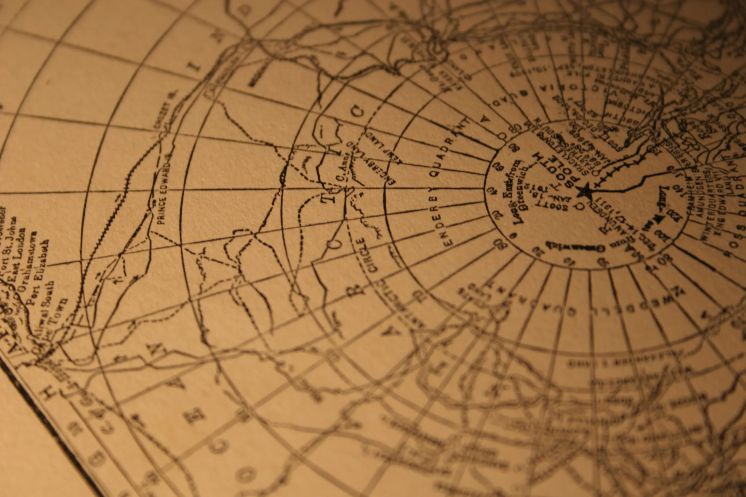
Latitude and longitude are fundamental geographic coordinates used to determine precise locations on Earth. Latitude lines, known as parallels, run horizontally from east to west and are used to measure distances north or south of the equator. Longitude lines, called meridians, run vertically from the north and south poles, measuring distances east or west of the Prime Meridian. Together, they form a grid that helps in pinpointing any location on the planet.
Impact on Navigation and Mapping
Navigators and cartographers heavily rely on latitude and longitude for accurate map-making and navigation. Latitude allows sailors to determine their north-south position while longitude helps in east-west orientation, crucial for plotting a course across the oceans. The development of the maritime astrolabe and later, more precise instruments like the sextant, utilized these coordinates to improve maritime navigation significantly..
Influence on Time Keeping and Time Zones
Longitude plays a critical role in the establishment of time zones, which are essential for maintaining consistent time-keeping across the globe. Each 15-degree segment of longitude typically represents one hour difference in time zones, aligning with Earth’s rotation rate. Unlike longitude, latitude does not directly influence time zones but does affect the length of daylight experienced, impacting local time perception.
Utilization in GPS Technology
Global Positioning System (GPS) technology utilizes both latitude and longitude to provide accurate location data. This system, which includes a network of satellites, offers precise navigation and location tracking capabilities across the globe. GPS devices calculate positions using latitude and longitude coordinates to guide everything from personal navigation on smartphones to large-scale logistical operations in commerce and military.
Conclusion
Throughout this discussion on the essentials of latitude and longitude, we have navigated through the complex yet fascinating geographic coordinate system that determines every point on Earth’s surface.
Through a deeper understanding of latitude, with its parallels marking distances north or south of the equator, and longitude, with meridians that delineate positions east or west of the Prime Meridian. We’ve illuminated their pivotal roles in global navigation, time zone management, google maps and GPS technology. These coordinates not only guide our travels but also shape our understanding of the world, influencing everything from climate patterns to timekeeping.
The significance of comprehending the differences and connections between latitude and longitude extends beyond mere academic curiosity. It serves as a cornerstone for advancements in GPS navigation such as google maps, timely communication across time zones, and precise location tracking, highlighting the interconnectedness of our global community.
As we continue to explore and map our world with increasing accuracy, the fundamental knowledge of latitude and longitude remains as relevant as ever, guiding us through the complexities of the Earth’s geographical and temporal landscape. Check out Mapquest’s Latitude and Longitude Finder Tool to locate coordinates for an address here.
FAQs
How can I easily differentiate between latitude and longitude?
To easily differentiate between latitude and longitude, think of a ladder. The latitude lines are similar to the rungs of a ladder, running east and west across the globe. Longitude lines, on the other hand, are the “long” lines that run vertically from the North to the South Pole, holding the ladder together.
Does longitude run vertically or horizontally?
Longitude lines run vertically around the Earth. They are imaginary lines that extend from the north pole and south poles and are measured east or west of the prime meridian.
Can you give an example of coordinates using latitude and longitude?
Latitude and longitude coordinates are expressed in decimal degrees with latitude coordinates listed first. For instance, Washington DC is located at a latitude of 38.8951 and a longitude of -77.0364. Latitude values range from -90 to 90, and longitude values from -180 to 180.
How do I identify lines of latitude and longitude on a map?
Lines of latitude are the imaginary north south line that encircle the Earth, indicating how far north or south a location is from the Equator. Lines of longitude, conversely, are the vertical lines that run from the North Pole to the South Pole, dividing the Earth into segments, much like the slices of an orange.


