Maps and globes are essential tools for navigation, locating points of interest, and understanding the world around us. While both provide representations of Earth’s surface, there are distinct differences between a map and a globe. A map is a two-dimensional, graphical depiction of an area, often displayed on a flat surface. In contrast, a globe is a three-dimensional, spherical model that accurately represents the curved surface of a planet or celestial body without distortion.
From planning trips to studying the movements of people, goods, and information, maps and globes serve various purposes in fleet management and beyond. This article will delve into the key distinctions between these geographical tools, their unique features, and their respective advantages, helping you determine which is better suited for your needs.
Overview of Maps
Maps offer several advantages that make them a practical and accessible tool to navigate and understand geographical information. Here are some key aspects of a map:
Portability and Accessibility
- A map is highly portable and lightweight, making them easy to carry and use on the go.
- Unlike GPS devices, a map does not require any energy source or battery power, allowing for unlimited usage.
- A map can be printed in various sizes and formats, from pocket-sized to covering a large wall, catering to different needs and preferences.
- Smartphones and navigation apps have made them even more accessible and convenient for everyday use with the ability to zoom in on certain areas with the ease of a finger.
Customization and Personalization
- Maps can be customized to display specialized information, such as topography, population density, points of interest, holy places of worship, or transportation networks, which globes cannot represent.
- Maps allow for personalization through annotations, markers, and overlays, making them ideal for a project, educational purposes, business presentations, and data visualization.
- Google Maps Platform offers cloud-based map styling, enabling users to zoom in, create customized map experiences without modifying app code and can be used with their app or on a browser.
Real-time Updates and Accuracy
- Digital maps update regularly to incorporate real-time data, ensuring accuracy and up-to-date information for travelers, emergency services, and urban planners.
- Google Maps Timeline feature tracks and records users’ location history, providing an estimated record of places visited and routes taken, although its accuracy may vary based on factors like GPS signal strength and device settings.
- Google Maps uses a combination of historical data and real-time data from Android smartphones to estimate traffic conditions and suggest optimal routes to the final address, with the accuracy improving as more data becomes available.
By leveraging these features, a map has become an indispensable tool to navigate, plan trips at the ready, and understand the world around us in a practical and accessible manner.
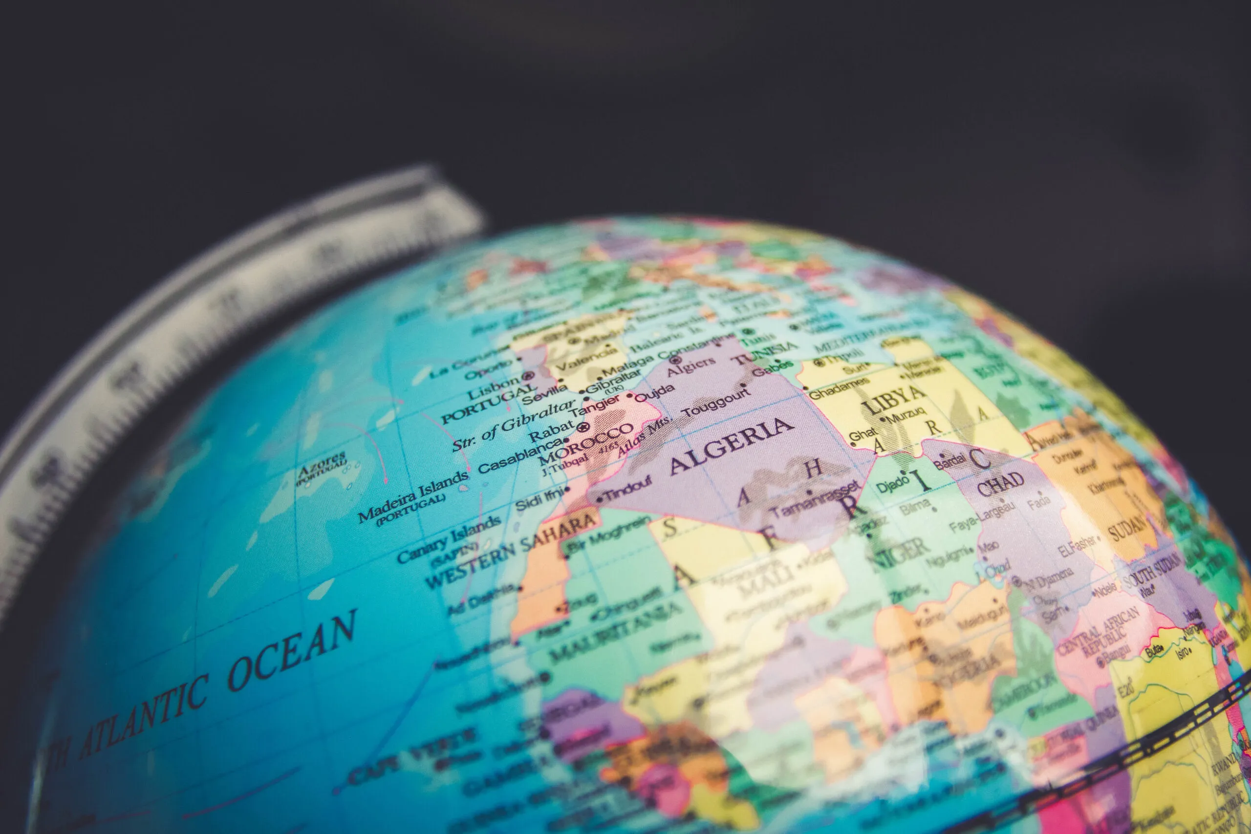
Overview of Globes
A globe is a spherical model of Earth or another celestial body that accurately represents its curved surface without distortion. Unlike a flat map, which inevitably introduce distortions when projecting a three-dimensional surface onto a two-dimensional plane, globes provide a true-to-scale representation of landmasses, water bodies, and other geographical features. This makes globes an invaluable tool for understanding the relative sizes and positions of continents, oceans, and countries without the distortions inherent in maps.
A globe map typically displays a network of latitude and longitude lines, allowing users to pinpoint precise locations and coordinates. Some globes even feature raised relief to depict mountains, valleys, and other topographical elements, providing a more realistic and immersive representation of the Earth’s surface.
Tactile and Immersive Experience
One of the key advantages of globes is their ability to offer a tactile and immersive experience. By physically spinning and rotating the globe, users can explore different regions, visualize the curvature of the Earth, and gain a better understanding of the relationships between various geographical locations. This hands-on interaction creates a more engaging and memorable learning experience, especially for children and students.
Moreover, a globe can be designed with various surface textures and materials, further enhancing the tactile experience. Some globes feature textured surfaces that mimic the Earth’s topography, allowing users to feel the contours of mountains, valleys, and other landforms. This tactile feedback reinforces the understanding of the Earth’s diverse landscapes and can be particularly useful in educational settings.
Limited Customization Options
While globes excel in providing an accurate and comprehensive representation of the Earth’s surface, they offer limited customization options compared to a map. Globes are primarily designed to display geographical features, with little room for customization or the addition of specialized information, such as population density, transportation networks, or climate data.
However, some manufacturers have started to explore customizable globe options, allowing users to personalize their globes with annotations, markers, or even custom-printed designs. These customizable globes can serve as unique art pieces, reflecting personal styles and creativity, while still retaining their educational and representational value.
It’s important to note that while globes offer a comprehensive and immersive representation of the Earth, they are best used in conjunction with maps and other geographical tools. Maps excel in providing detailed information tailored to specific purposes, such as navigation, urban planning, or data visualization, complementing the broad overview offered by globes.
Comparative Analysis
Visual Representation and Usability
A map offers a practical and accessible alternative to globes when it comes to visual representation and usability. Unlike globes, which are round and difficult to fold, maps provide a flat representation of the Earth’s surface that is easy to store, distribute, and use for everyday navigation. They can be conveniently printed in various sizes and formats, from small pocket-sized maps to navigation apps on smartphones, making maps much more widely accessible and practical than globes, especially when traveling or navigating a city.
Specialized Applications
While globes provide a generalized view of the Earth, they cannot adapt to changes as easily as maps. In contrast, a map can quickly create and incorporate updates like new roads, changes in city infrastructure, and altered geopolitical borders. Additionally, they can display specialized representations of geographic features such as topography, population density, or transportation networks, which globes are unable to do. This versatility makes it more suitable for specialized applications, such as scientific research or financial analysis, where advanced data visualization and measurement capabilities are required.
Data Visualization and Measurements
When it comes to practical use, a map provides much more versatility than globes, mostly because they can be personalized to include features such as annotations, markers, and overlays. This makes a map ideal not only for easy navigation but also for educational purposes, business presentations, and data visualization. The flat nature of a map simplifies comparison and measurement, facilitating the calculation of distances, areas, and angles, which serves as a foundation for various tasks, including route planning, spatial analysis, and logistics. Digital maps undergo regular updates to incorporate real-time data, ensuring accuracy and up-to-date information, making them indispensable tools for travelers, emergency services, and urban planners.
Is it correct to consider a globe as a type of map?
Yes, a globe can be considered a type of map, albeit in a spherical form. However, accurately transferring information from flat maps to a spherical surface is challenging due to the inherent distortion caused by trying to fit a flat surface onto a curved one.
Which is more accurate: a map or a globe?
Globes are the most accurate method for representing the Earth’s surface. They are scale models of the Earth, accurately depicting the shapes, sizes, and positions of continents and oceans. Additionally, globes accurately convey distances and directions between two points.
What distinguishes a map from a globe?
A map is a two-dimensional representation that can depict the entire Earth or just portions of it, while a globe is a three-dimensional sphere that represents the whole Earth. Globes offer a general view of the world, whereas maps provide detailed information about various locations.
How do maps and globes differ in the way they represent the world?
Globes are three-dimensional models that accurately portray the Earth’s shape, including the accurate shapes, sizes, and locations of landmasses. On the other hand, maps are flat representations that can depict all or parts of the Earth’s surface but may not maintain the same level of accuracy in terms of shapes and sizes as a globe.
Conclusion
In summary, maps and globes serve distinct yet complementary purposes in representing the Earth’s surface. Maps provide a practical, portable, and customizable two-dimensional representation, making them invaluable tools for navigation, data visualization, and specialized applications. Their ability to incorporate real-time updates, annotations, and overlays enhances their versatility and accuracy. Globes, on the other hand, offer a comprehensive, immersive, and tactile three-dimensional representation of the Earth’s curved surface, providing a true-to-scale depiction of landmasses and water bodies without distortion.
While globes excel in offering a holistic and engaging understanding of the Earth’s geography, maps remain indispensable for their specialized applications, data visualization capabilities, and ease of use in everyday scenarios. The choice between a map and a globe ultimately depends on the specific needs and purposes, but both tools play crucial roles in our understanding and exploration of the world around us.