The MQ Blog

Discover easy ways to improve your business needs using MapQuest’s tools and gain insights into MapQuest use cases for various industries

Traffic API Updates: Traffic Flow Overlays, Incident Updates and More

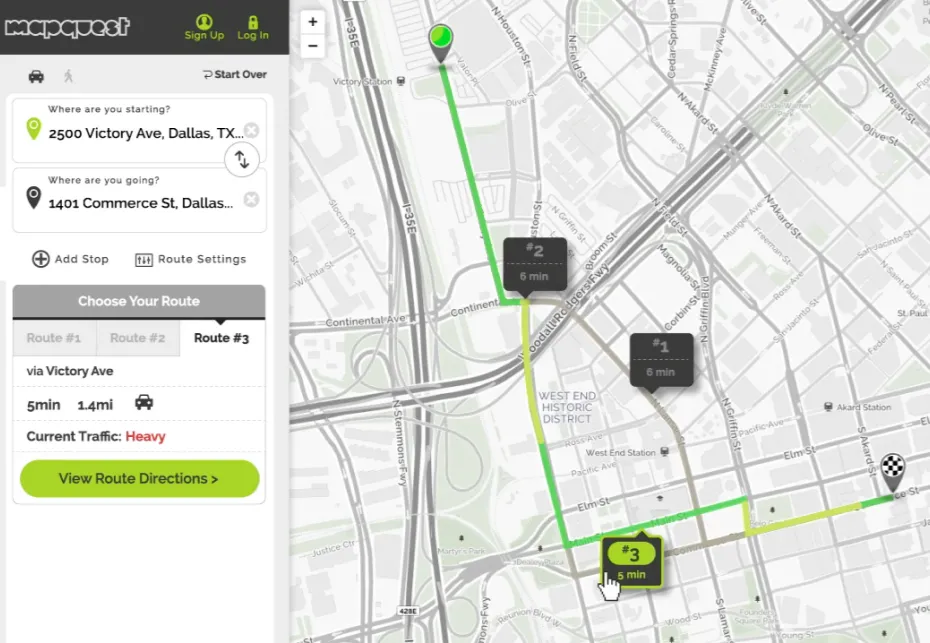
We’re happy to announce additional improvements to our Traffic API, which will require no additional backend work for you! Updating four elements, we’re making your lives easier and providing a better user experience for you and your users. It’s a win-win scenario!

Keep scrolling to read about our new and improved Traffic API enhancements:

  • 7x more granular traffic flow overlays:

    We now offer a more granular traffic flow overlay for traffic congestion, accidents and construction, helping your drivers plan more efficiently and arrive safely.

  • Quicker incident updates:

    With near real-time information about incidents, road closures, construction and resulting delays, receive accurate start, end times and much more.

  • Higher traffic coverage on road links:

    Give your users more options with 60% more road links, enhancing your overall design and application.

  • Improved error handling for incidents and flow requests:

    Receive more detailed and intuitive information regarding request validity, bounding box limitations, missing parameters and response messages in order to continue successfully developing your applications.

To see these updates in action, visit the Traffic API documentation page and try it out now.

Recent articles

How Are Maps Created: From Ancient Techniques to Cutting-Edge Technology

Maps have shaped human civilization for thousands of years and served as vital tools to explore, navigate, and understand our world. The art of creating maps has changed substantially over time. Simple drawings on clay tablets have evolved into sophisticated digital representations of Earth’s surface. These changes showcase humanity’s need for precise spatial information and […]

Jenn Chu

How to Create Accurate Noise Mapping for Your Area

Noise pollution is a growing concern in urban environments, affecting the quality of life and health of residents. As cities expand and human activities intensify, the need for accurate noise mapping becomes increasingly crucial. Noise mapping provides a visual representation of sound levels in an area, helping communities and policymakers understand and address noise-related issues […]

Jenn Chu

Dynamic Maps vs Static Maps: Key Differences Explained

Maps have come a long way from paper to pixels, transforming how we navigate and understand our world. The shift from static maps to dynamic maps has revolutionized the way we interact with geographical information, offering real-time updates and personalized experiences. This evolution has a significant impact on various industries, from transportation and logistics to […]

dynamic maps vs static maps
Jenn Chu