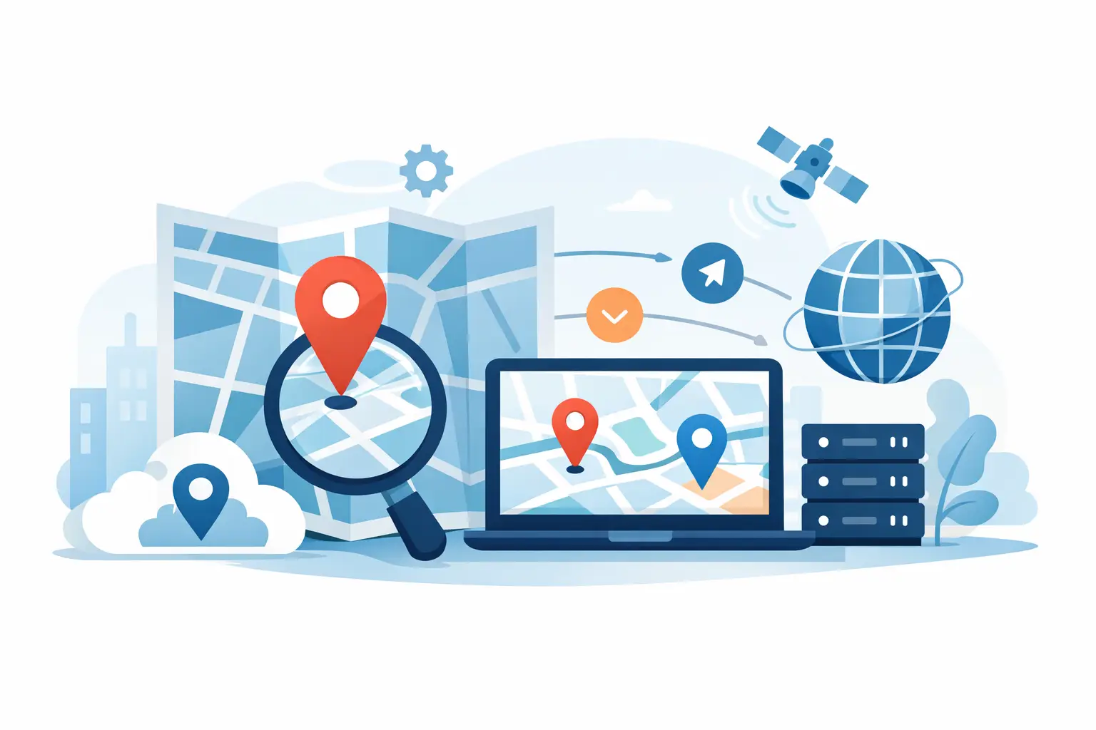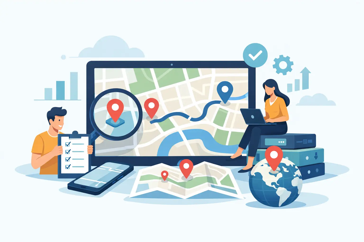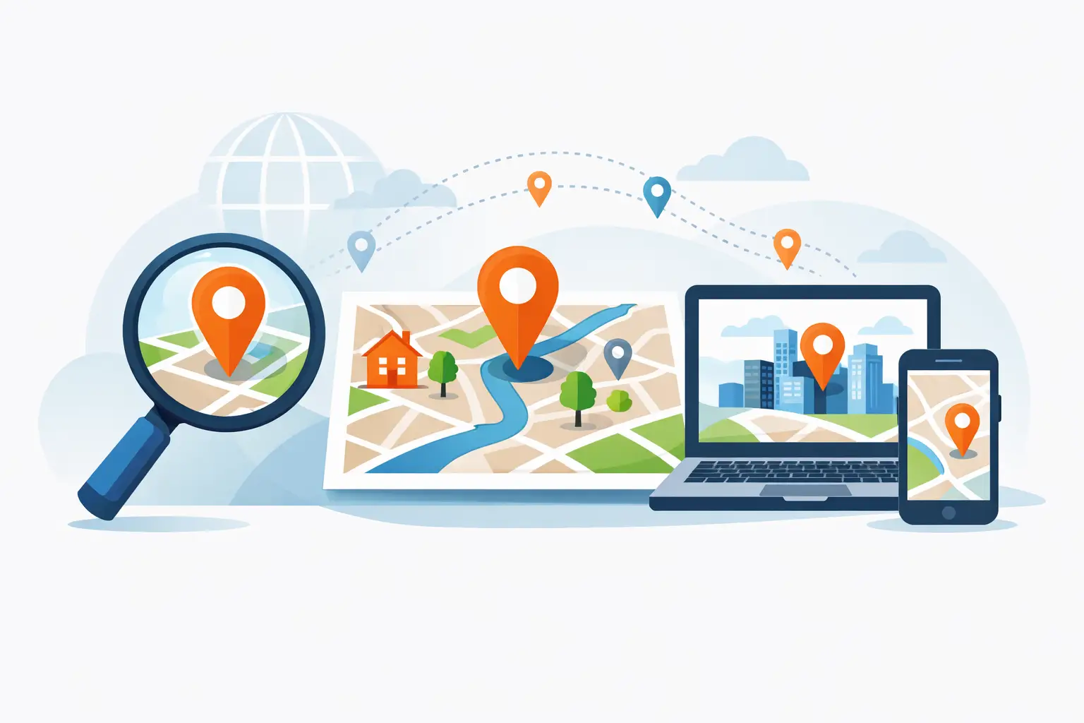
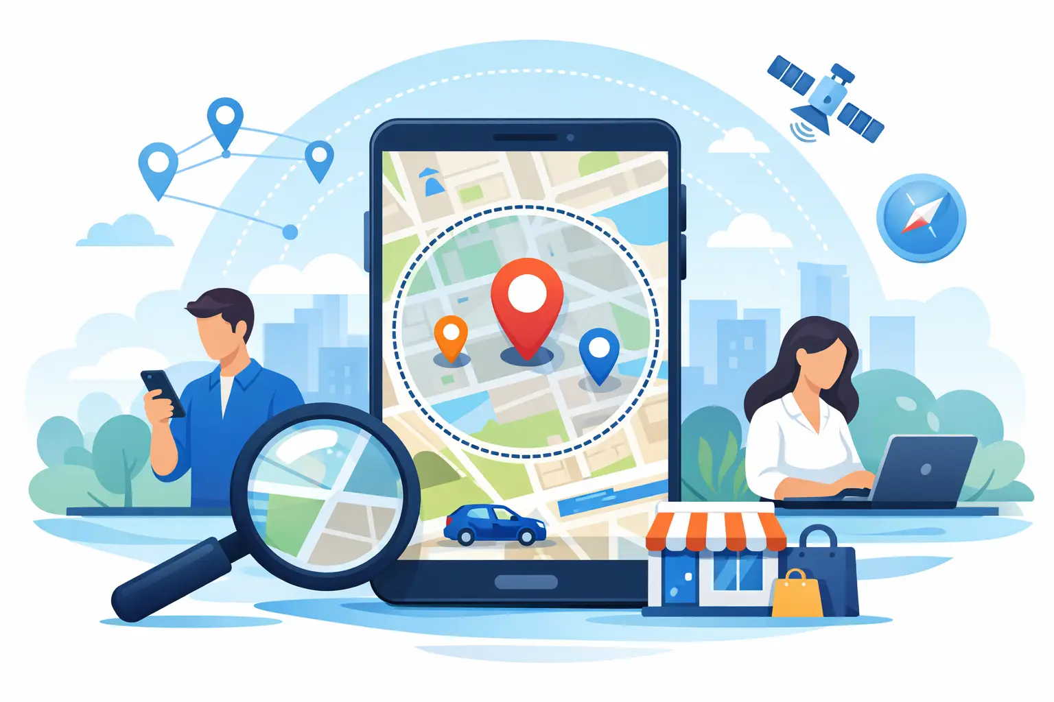
A user searches for coffee near the airport, a driver looks for the nearest drop-off point, or a retail app needs to show stores within 10 miles of a ZIP code. In each case, a radius search api is doing more than returning pins on a map. It is deciding what counts as nearby, which results deserve priority, and how quickly that answer can be delivered in a real product.
For development teams, that matters because proximity is rarely just a convenience feature. It affects conversion, customer satisfaction, dispatch efficiency, and the overall quality of search. If nearby results feel inconsistent or slow, users notice immediately. If they feel relevant and fast, the feature disappears into the experience, which is usually the best outcome.
What a radius search API does
At a technical level, a radius search API takes a center point, usually latitude and longitude, and returns locations that fall within a specified distance. That sounds simple, but production use is less tidy than the basic definition suggests. Teams still need to account for unit handling, ranking logic, category filtering, geocoding quality, and the shape of the data being searched.
A common flow starts with an address, ZIP code, city, or current device location. That input is converted into coordinates, then the search engine evaluates which places or records sit inside the requested radius. In some implementations, the API also sorts by distance, filters by business type, or limits results based on availability and relevance.
This is where business requirements start shaping the build. A restaurant finder may want dense result sets within a tight radius. A field service platform may care more about travel practicality than straight-line distance. A fleet tool may need to search around a moving vehicle rather than a fixed destination. The same core capability supports all of those use cases, but the details change quickly.
Why radius search matters in real products
Radius-based search solves a very practical problem: people think in terms of distance, not database boundaries. Users do not care which city line a store crosses or which internal region a service area belongs to. They care whether something is close enough to use right now.
That is why radius search often performs better than rigid geographic filters. A city-based search can exclude valid nearby options just outside the border. A radius-based search is more aligned with how people make decisions in the real world. For product teams, that usually leads to better search outcomes and fewer edge-case complaints.
There is also an operational side to it. In logistics, service dispatch, and territory management, a radius search API can reduce manual decision-making. Instead of asking a coordinator to inspect a map and estimate what is nearby, the application can return candidate locations instantly. That improves consistency and saves time at scale.
Where a radius search API fits in your stack
Most teams do not implement radius search in isolation. It typically sits alongside geocoding, place search, routing, and sometimes traffic or spatial data management. The radius search itself answers one question - what is nearby - but products usually need a few related answers right after that.
A store locator might geocode the user input, run a radius search for nearby stores, then calculate drive times to rank those stores more helpfully. A delivery product might search for nearby drivers, then use routing data to decide which one can actually arrive first. A marketplace app might combine radius filtering with category search and predictive input to shorten the path from query to booking.
This is one reason mature geospatial platforms tend to be easier to work with than isolated point solutions. Nearby search gets more valuable when it connects cleanly to the rest of the location workflow.
What separates a good radius search experience from a frustrating one
The biggest difference is usually not whether the API can return results within a circle. Most systems can do that. The difference is whether the results match user expectations under real conditions.
Input quality is one factor. If the origin point is inaccurate because the source address geocoded poorly, the radius search will be off before it starts. Ranking is another. Straight-line distance is useful, but it is not always enough. In urban areas, the closest place on the map may be slower to reach than a slightly farther one. In sparse regions, a radius may need to expand or fallback logic may need to trigger when too few results are found.
Performance matters just as much. Nearby search often sits in customer-facing interfaces where delays are obvious. Response times need to stay dependable even under high request volumes, especially for applications with peak-hour search behavior such as food ordering, retail, and ride-related workflows.
Coverage and data freshness also matter. A radius search API is only as useful as the place, asset, or business data behind it. Teams should evaluate not just query syntax, but whether the data model supports the categories, attributes, and geographic coverage their product actually needs.
Radius search API use cases that benefit most
Retail and restaurant experiences are the obvious examples, but they are far from the only ones. Radius search is equally valuable in operational software where the user never thinks of it as a map feature.
In field service, teams use it to identify technicians, warehouses, or service zones near a job site. In fleet operations, it helps surface fueling options, parking, depots, and service resources close to vehicles in motion. In property and travel applications, it supports searches around landmarks, neighborhoods, transit hubs, and current location.
It is also useful in internal business tools. Sales teams can find accounts within a target territory radius. Analysts can compare location density around candidate sites. Franchise operators can assess competitive presence near existing stores. The search pattern is the same, even if the interface and outcome are different.
Trade-offs to think through before implementation
A radius search API sounds binary - either something is inside the radius or it is not - but practical implementation involves choices. One is whether to optimize for precision or flexibility. A tight radius reduces noise, but it can also create empty or thin result sets. A wider radius improves coverage, but may dilute relevance.
Another trade-off is distance versus travel context. If a user wants what is physically closest, radius search works well on its own. If they want what is fastest to reach, routing should probably influence ranking. That adds complexity, but in some products it is the difference between acceptable and genuinely useful.
There is also the question of who controls the radius. Some applications let users set it directly. Others infer it based on query type, density, or business rules. Giving users control can improve transparency, but it can also add friction. Automating it keeps the interface cleaner, though the defaults need to be well tuned.
How teams should evaluate a radius search API
Start with the use case, not the feature checklist. Ask what the search is supposed to help the user accomplish. That answer should guide how you assess result quality, latency, filtering, data coverage, and scale.
For developer teams, implementation speed matters. Clear documentation, predictable request structure, and simple testing paths reduce time to first value. For product and engineering leaders, reliability matters just as much. An enterprise-grade and battle tested API should handle growth without forcing a redesign when usage increases.
It is also worth looking at how well the search capability fits into broader geospatial needs. If your roadmap includes geocoding, routing, place search, or map display, a platform approach usually creates less integration overhead than stitching together disconnected services. For teams shipping quickly and planning for production, that integration story is not a minor detail.
MapQuest Developer is one example of a provider built around that model, combining nearby search with the broader mapping and geospatial services teams often need once a location feature moves beyond prototype stage.
Building radius search for business outcomes
The best radius search implementations do not start by asking how many miles to query. They start by asking what better decision the product should enable. Should a customer find a location they can visit right now? Should a dispatcher assign the best nearby resource faster? Should a marketplace reduce the time between search and conversion?
When those goals are clear, the technical decisions become easier. You can set smarter defaults, choose better ranking logic, and connect nearby search to routing, filtering, and data quality controls where needed. That is how a radius search API moves from a generic mapping feature to a measurable part of the product experience.
If you are planning location-based search, build for the real conditions your users face rather than the clean geometry shown in an example request. Nearby is simple on paper. In production, it is where search quality either earns trust or loses it.