Have you ever found yourself pondering the differences between roads, streets, and avenues as you navigate through a city? 1 2 While these terms may seem interchangeable, there are distinct conventions governing their naming and usage in urban planning. Understanding these distinctions can provide valuable insights into the layout and organization of cities and towns. 2
Roads, streets, and avenues are not mere labels; they signify specific characteristics and serve unique purposes in mapping and providing directions. 2 Roads typically connect two points, often leading out of town or away from city centers. Streets, on the other hand, are public thoroughfares lined with buildings on both sides. Avenues, while sharing characteristics with streets, typically run perpendicular to them, offering a different orientation for navigation and traffic flow. 1 2
Historical Background of Roads, Streets, and Avenues
The origins of roads, streets, and avenues can be traced back to ancient times, with their naming conventions and design principles evolving over centuries. In the past, many streets were named for the type of commerce or industry found there, a practice that is rarely followed in modern times. However, many such older names are still common, such as London’s Haymarket, Barcelona’s Carrer de Moles (Millstone Street), and Cannery Row in Monterey, California. 3
Some streets were named after landmarks that were present in or near the street when it was built. Even after the disappearance of these landmarks, their names often persisted. For instance, Barcelona’s La Rambla is officially a series of streets, with names like Rambla de Canaletes (named after a still-standing fountain), Rambla dels Estudis (named after a demolished university building), and Rambla de Sant Josep, Rambla dels Caputxins, and Rambla de Santa Monica (named after former convents). 3 Similarly, London’s Crystal Palace Parade takes its name from a former exhibition center that stood adjacent to it, destroyed by fire in 1936. 3
In certain cases, streets were named after landmarks that were destroyed to build the very street itself. For example, New York’s Canal Street takes its name from a canal that was filled in to construct it, while New Orleans’ Canal Street was named for a planned canal that was never built in its right-of-way. 3
Conventions and Design Principles
The naming and design of roads, streets, and avenues have been shaped by various factors, including public health, movement, aesthetics, mathematics, legal requirements, and more. 5 In ancient Roman times, the average width of nearly 500 principal Roman roads examined by Davies was around 21 feet (6.5 meters or 22 pedes). 5
During the medieval period, the Leges Henrici Primi (Laws of Henry I), written between 1114 and 1118, specified minimum widths for the via Regia (King’s Road) to prevent encroachment. The requirement was that the way should be wide enough for two wagons to pass each other, for two ox-drivers to touch the tips of their goads held across the way at full length, and for 16 armed knights to ride side by side. 5
The Statute of Winchester in 1285 commanded that in areas of forest or heath, a 200-foot (deus centz pez) strip on either side of the way should be kept clear of vegetation by the landholder. 5 Edward I, a prolific promoter of new towns, ensured that the surveyors at new Winchelsea laid out commendably straight streets nearly half a mile in length, with only a slight variance from a perfect 90-degree grid. 5
As mathematics and surveying techniques advanced, the design of roads and streets became more precise. In 1556, the mathematician Leonard Digges published ‘Tectonicum,’ explaining the exact measuring and speedy reckoning of all manner of land, squares, stone, and steeples. 5 John Napier published a set of logarithms in 1614, and triangulation was developed in Holland in 1615, while Edmund Gunter’s chain, equal to 22 yards or four rods, arrived on the surveying scene in 1620. 5
The 1730 plan for Savannah, Georgia, designed under James Oglethorpe to reflect the principles of the Enlightenment, featured standard widths: 75 feet for main streets, half this for secondary streets, and one quarter for lanes. 5 In 1749, an Act of Parliament established Maryport (or Ellenfoot, as it was known then), a new town laid out on a grid with a square, rectilinear blocks of approximately two acres, and streets 36 feet wide. 5 The plans for Edinburgh New Town, dating from 1766/7, had a central street of 100 feet wide, outer streets and cross streets of 80 feet, and mews of 30 feet. 5
Modern Differences in Urban Planning
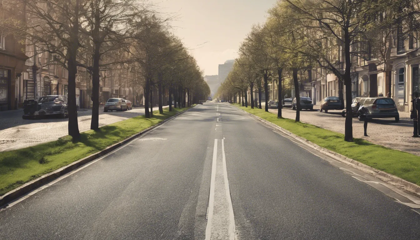
The basic premise behind road-naming conventions, which are fairly consistent around the world, is that the name bestowed upon a road depends upon its size and function. A road, for example, is a path that connects two points. Generally, roads head out of town or away from the heart of a city. 1 A street, in contrast, is a public road with buildings on both sides. This means that a street is also a road, but a road isn’t necessarily a street. 1
Avenues generally run perpendicular to streets but also have trees and buildings on both sides. 1 And each municipality decides in which direction to place its streets and avenues. In Manhattan, for example, avenues run north and south, while streets run east and west. In Denver, it’s the opposite. And in Tucson, they got innovative, calling the roads running diagonally to streets and avenues “stravenues” (postal abbreviation = STRA). 1
Other Common Road Definitions
So streets, avenues and roads are the main names for our passages. But here are some other common road definitions:
- Boulevard: A wide street with trees and other vegetation on one or both sides and, often, a median to divide traffic. 1
- Court: A street ending in a loop or a circle, aka a cul-de-sac. 1
- Crescent: A winding, curved road that typically attaches to another road at each end. 1
- Drive: A long road that winds around a geographical feature such as a river or mountain. 1
- Lane: A narrow road that typically leads to a residential zone. Lanes are often found in rural areas. 1
- Place: A road or street with a dead end that’s not a loop or circle. 1
- Terrace: A street following the upper portion of a slope. 1
- Way: A small street branching off a road. These passages are usually short and often feature a dead end. 1
The video helpfully points out that these conventions aren’t the same everywhere in the world, but give a good indication of why each road is named the way it is. 2 Take the UK, for example. The video describes a ‘place’ as a road with a dead-end, usually leading to a ‘court’. Us Brits, however, are usually treated to ‘avenues’ which lead into a ‘close’. Indeed, the Cambridge Dictionary (bear with me), describes avenues as ‘a road that leads to a large house.’ 2
Also, while it won’t be apparent on any signs, UK denizens usually refer to such networks – with a fair degree of appropriation – as a ‘cul-de-sac’. 2 Australia, for example, sees boulevards in a slightly different light, with these generally meaning long roads which regularly curve. 2 There are also instances of the spelling of boulevard changing in Australia, with an extra ‘e’ included at the end – a fact that, realistically, couldn’t be much less interesting. 2
In addition to U.S. municipalities following fairly standard street-naming conventions, most major cities are laid out in a grid system, where the streets run at right angles with each other. This makes it relatively easy to find your way around. Chicago took things a step further by selecting the intersection of State Street and Madison Avenue in the heart of the city as its zero coordinates. This means if your address is 5420 North Lotus, you live 54 blocks north of State and Madison. 1
Case Studies from Different Cities
Here is the citations content for the section “Case Studies from Different Cities” formatted in markdown:
Different cities around the world have adopted unique approaches to naming and organizing their road networks. Let’s explore some case studies that illustrate the diverse conventions and practices employed by various municipalities.
Tucson, Arizona
In Tucson, Arizona, the road naming system follows a distinct pattern. Most roads running east-west are called streets, while roads running north-south are labeled as avenues. However, Tucson also features a hybrid type unique to the city: the “stravenue,” a portmanteau of street and avenue used for diagonal roads (abbreviated as “Stra”). 13
Salt Lake City, Utah
Salt Lake City employs a grid system for its roads, with many roads having no names and instead using a number and cardinal directions (East, West, North, and South). Roads with a name followed by “Street” or “Avenue” indicate whether the road runs north-south or east-west, respectively. However, there are exceptions to these rules, such as roads named “Drive” running diagonally northwest to southeast, and roads named “Way” running diagonally northeast to southwest. 11
Cleveland and Pepper Pike, Ohio
A case study from Cleveland demonstrates how road names can influence property values. For instance, homes on West Boulevard in a particular neighborhood had a median sales price of $119,500, while homes on the adjacent W. 100th Street had a median sales price of $83,750. This difference can be attributed to factors such as larger lot sizes and greater gross living area for homes on West Boulevard. 12
Similarly, in Pepper Pike, Ohio, a comparison of single-family home sales on Shaker Boulevard and South Woodland Road revealed a slight value difference, likely due to variations in lot size and gross living area. In this area, land has a higher contributory value to property prices. 12
Portland, Oregon
In Portland, the naming scheme typically follows the convention of “Street” for east-west running roads and “Avenue” for north-south running roads, even for numbered roads. However, the naming is highly inconsistent, and this convention is hardly followed in Portland’s suburbs. 11
Cambridge, UK
The road naming conventions in Cambridge, UK, demonstrate the diversity and exceptions that can exist within a single city. According to the provided information, one could potentially find a “Road to nowhere,” a “Street with buildings on just one side,” an “Avenue parallel to a Street,” a “narrow Boulevard,” a “major Way,” a “wide Lane,” a “short straight Drive,” a “flat straight Terrace,” and both “Courts and Places that are through streets.” 14
These case studies highlight the variations in road naming conventions across different cities, reflecting local traditions, urban planning practices, and the unique characteristics of each municipality’s infrastructure and geography.
Everyday Usage and Misconceptions
Despite the established conventions for naming roads, streets, and avenues, there are instances where these terms are used interchangeably or inconsistently in everyday usage. 15 16 17 18 This can lead to misconceptions and confusion regarding the actual purpose or characteristics of a particular thoroughfare.
Colloquial Usage
In some regions, the terms “road,” “street,” and “avenue” are used colloquially without adhering to the traditional definitions. 15 For example, residents may refer to any paved path as a “road,” regardless of whether it connects two points or has buildings lining its sides. Similarly, the term “street” might be used broadly to describe any urban thoroughfare, even if it does not strictly meet the criteria of having buildings on both sides.
Inconsistent Naming Conventions
While many cities and municipalities follow established naming conventions, there are instances where these conventions are not consistently applied. 15 16 This can result in roads being labeled as “streets” or “avenues” despite not meeting the typical criteria for those designations. Such inconsistencies can arise due to historical reasons, local preferences, or a lack of standardization in urban planning.
Regional Variations
The terminology used for different types of roads can also vary across regions and countries. 17 18 For instance, in some areas, the term “boulevard” may be used more broadly to describe any wide, tree-lined street, while in others, it may refer specifically to a street with a median divider. Similarly, the term “drive” might be used for winding roads in one region, while in another, it could be applied to any long, straight road.
Exceptions and Unique Road Types
In addition to the common road types, there are exceptions and unique road types that may not fit neatly into the established categories. 15 For example, the “stravenue” in Tucson, Arizona, is a portmanteau of “street” and “avenue” used for diagonal roads. 15 Similarly, some cities may have specific designations for roads that follow particular geographical features or serve specific purposes, such as “causeway” or “esplanade.”
It is essential to recognize that while naming conventions for roads, streets, and avenues exist, their everyday usage and interpretation can vary based on local customs, regional differences, and individual preferences. 15 16 17 18 Understanding these nuances can help navigate and communicate more effectively within a particular area or context.
Conclusion
The differences between roads, streets, and avenues may seem trivial, but they reflect the intricate planning and organization that goes into urban design. These designations serve as more than mere labels; they represent the unique functions and characteristics of our transportation networks. While conventions exist, their interpretation and application can vary across regions and municipalities, reflecting local traditions, geographical features, and urban planning philosophies.
Ultimately, the nuances of road naming conventions remind us of the rich tapestry of human settlements and the diverse approaches taken to create functional, efficient, and aesthetically pleasing urban environments. As we navigate through cities, understanding these distinctions not only aids in wayfinding but also provides insights into the historical and cultural fabric of our communities.
FAQs
1. What distinguishes a street, road, and avenue from each other?
A “road” refers to any pathway that connects two points. A “street” is a public way flanked by buildings on both sides. An “avenue” shares characteristics with streets but typically runs perpendicular to them. A “boulevard” is a broader version of a street or avenue, characterized by a median strip down its center.
2. How can one interpret the designations of streets and avenues?
“Street” (St) usually has buildings on both sides and runs perpendicular to avenues. “Avenue” (Ave) is typically perpendicular to streets and may feature trees along one side. “Boulevard” (Blvd) is a wide city street with a central median and vegetation on the sides. “Way” (Way) refers to a smaller side street.
3. What is the difference between a parkway and an avenue?
A “parkway” is a major public road often adorned with decorations and sometimes forms part of a highway system, usually featuring traffic lights. In contrast, “avenues” generally run perpendicular to streets and are less likely to include such embellishments.
4. How does a road differ from a lane?
A “lane” is typically a narrow road, more common in rural areas but also present in urban settings. In cities, the term “lane” is sometimes used interchangeably with “alley” to denote a narrow passageway between buildings, often for aesthetic enhancement.
References
[1] – https://www.here.com/learn/blog/whats-the-difference-between-a-road-a-street-and-an-avenue
[2] – https://science.howstuffworks.com/engineering/civil/difference-between-avenue-road-boulevard.htm
[3] – https://en.wikipedia.org/wiki/Street_name
[4] – https://www.vox.com/2016/11/14/13275486/streets-roads-avenues-names-reasons
[5] – https://www.designingbuildings.co.uk/wiki/The%20history%20of%20the%20dimensions%20and%20design%20of%20roads,%20streets%20and%20carriageways
[6] – https://becomeanewyorker.com/streets-and-avenues-a-history-of-the-grid-system/
[7] – https://www.here.com/learn/blog/whats-the-difference-between-a-road-a-street-and-an-avenue
[9] – https://science.howstuffworks.com/engineering/civil/difference-between-avenue-road-boulevard.htm
[10] – https://www.here.com/learn/blog/whats-the-difference-between-a-road-a-street-and-an-avenue
[11] – https://www.quora.com/What-are-the-differences-between-street-lane-road-and-avenue
[12] – https://clevelandappraisalblog.com/2020/06/25/is-there-a-value-difference-between-streets-avenues-boulevards/
[13] – https://www.southernliving.com/culture/difference-between-road-street-avenue-boulevard
[14] – https://99percentinvisible.org/article/beyond-streets-avenues-simple-visual-guide-different-types-roads/
[15] – https://www.vox.com/2016/11/14/13275486/streets-roads-avenues-names-reasons
[16] – https://www.thrillist.com/news/nation/whats-the-difference-between-roads-street-avenues
[17] – https://www.vox.com/2016/11/14/13275486/streets-roads-avenues-names-reasons
[18] – https://www.southernliving.com/culture/difference-between-road-street-avenue-boulevard
[19] – https://science.howstuffworks.com/engineering/civil/difference-between-avenue-road-boulevard.htm
[20] – https://www.here.com/learn/blog/whats-the-difference-between-a-road-a-street-and-an-avenue
[21] – https://www.ncbi.nlm.nih.gov/pmc/articles/PMC6059469/
[22] – https://www.rfcity.org/DocumentCenter/View/154