We recently launched an updated version of our Static Map API, including enhancements like you’ve never seen before. If you aren’t familiar, our Static Map API allows you to create a map image that can be placed in your applications, websites, email campaigns, or print media.
Enhancements to Static Map API, v5, include:
-
Retina Maps:
Maps can now be made at 2x scale, allowing you to create super crisp maps on high DPI displays.
-
Map Styles:
In addition to our standard, hybrid, and satellite tiles, choose from two new map styles – light and dark.
-
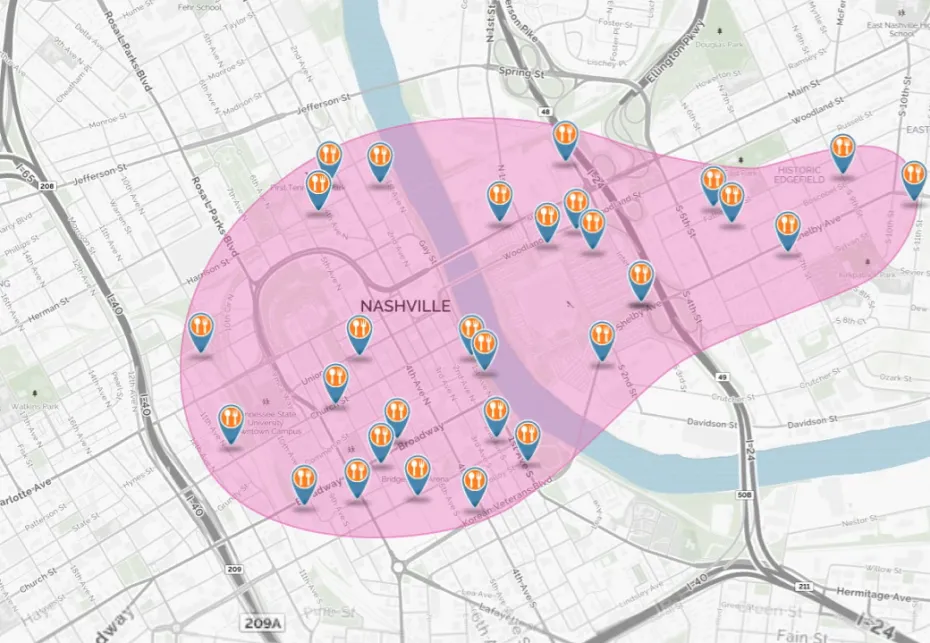
Locations:
Locations are now simpler and more customizable. In addition, our entire icon set has been modernized to help you take your maps to the next level. Get your locations out there.
-
Simplified Routing:
Routing has never been easier! Just give us a start and end location, and we will show you driving directions. The route ribbon and markers are also customizable to bring your branding to the forefront. So go get tripping!
-
Arc Routing:
Roads aren’t the only way to route between two points. Highlight trips that planes take using a geodesic arc route, instead of a driving route.
-
Banners:
Add information and context to your maps with customizable banners. Go on, add that flare!
-
Shapes:
Add polygons, polylines, and circles to your map, as we now allow single line addresses in addition to latitude and longitude points to help speed up the process.
These are just a taste of what you can do with the new Static Map API. Be sure to check out our handy resources to help you get started or find inspiration including: our getting started guide, Static Map examples, and documentation.